| Templot Companion | search | remove search highlighting | if the A-Z Index tab is missing click here |
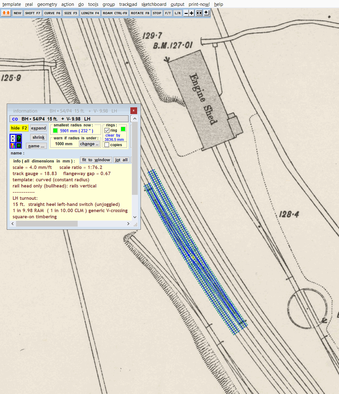
Maps and aerial images are often useful as a background guide to track planning. Templot can fetch tiled maps from the internet for you, and scale them to match your current model scale. The map is comprised of several square tiles, each of which becomes a separate picture shape in your list of background picture shapes . There are functions to combine such tiles into a single map, and to position and twist the maps to suit your track planning.
This video shows you how to get an historic background map from the NLS web site, and align tracks over it:
 buttons under construction video: part 1 part 2 part 3 video created 26/05/2022 using 234c
This video below is a clip from an earlier live demo in 2020, showing how to align templates over a map. The map is a 50"/mile more modern map than the one above, which makes it easier to align the tracks. The make diamond-crossing function has been changed since then, but the results are still the same:
If you obtain such maps by making screenshots from web sites, it can be difficult to scale (re-size) them to match your modelling scale. Templot can obtain many such maps for you, and scale them to the correct size automatically.
page under revision In the meantime, ask on the friendly Templot Club forum if you need more information about using background maps.
link to this page: https://85a.uk/templot/companion/get_map_from_the_web.php